There is no shortage of places to walk in Boston. In fact, Boston was named the 3rd most walkable city in the U.S according to Walk Score. We know some of the more well-known walking spots are the Freedom Trail, Public Garden, Boston Common, and Mt. Vernon Street. But the newest areas may be flying under your radar. How many of these spots have you checked out? What’s contributing to the development of these new walking areas in Boston?

The Changing Footprint of the City
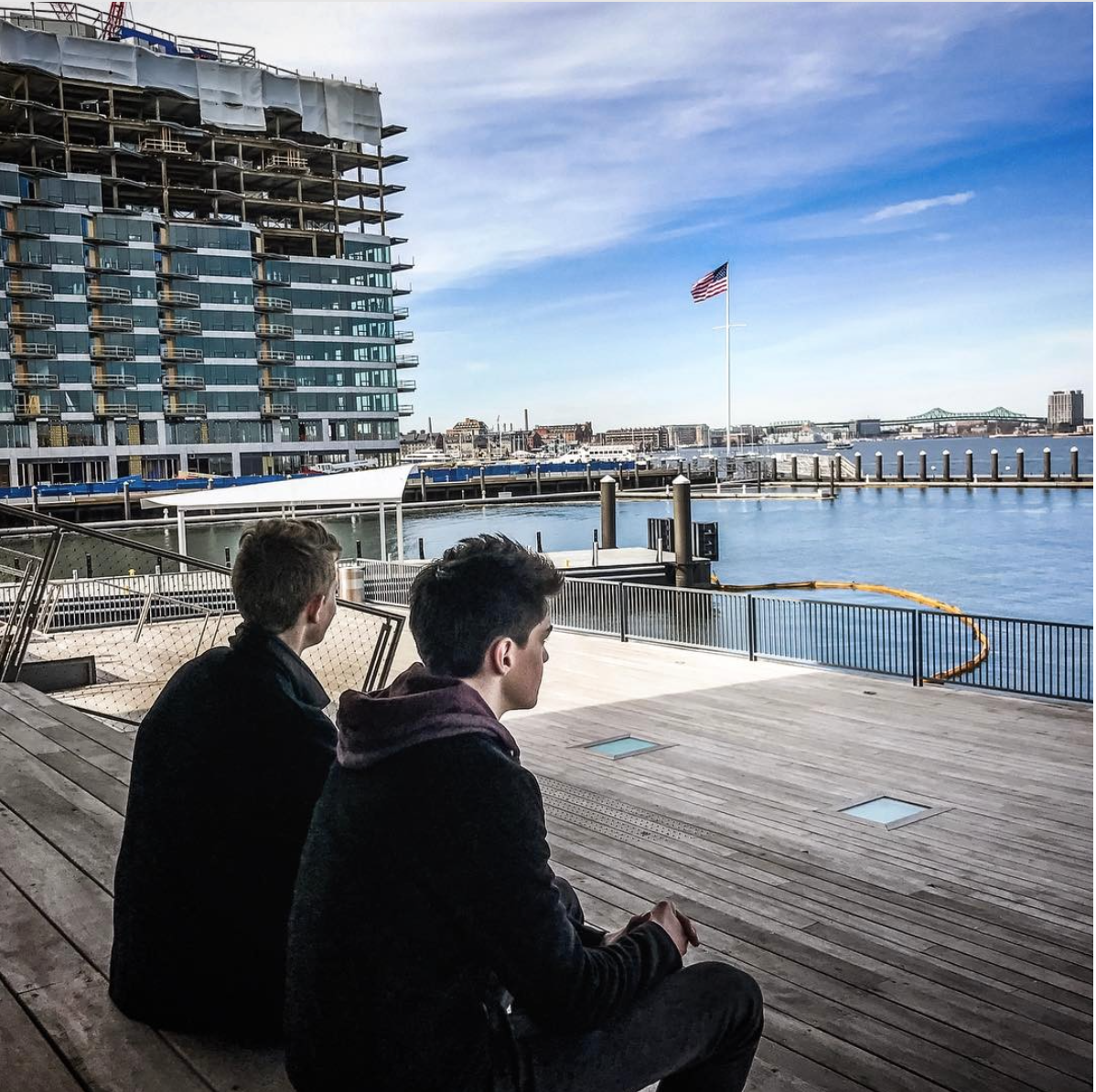
There are new residential buildings popping up all over the city, but nowhere is this more evident than by the downtown waterfront and the Fenway district. Over the last few years, we witnessed the introduction of condominium buildings—including Pierce Boston, Pier 4, 22 Liberty, 50 Liberty, and now Lovejoy Wharf. These developments have led to fabulous new places to live, and have carved out new public walking areas in the city. A priceless amenity, in my opinion!
Paving the Way for More Walking
Introducing parks, green spaces and pedestrian walkways has a multitude of benefits for the city, from healthier communities to safer roads. It also helps a city thrive and prosper socially and economically. In fact, experts say walkability helps foster a greater sense of community, making residents more apt to get out, connect with one another and support the local businesses.
The city has been making a conscious effort to support the development of new walking areas, too. The Massachusetts Public Waterfront Act, otherwise known as Chapter 91, was created to help preserve and protect the public’s right to the tidelands and waterways in Massachusetts. While this ordinance was formally established in 1866, the philosophy behind “Chapter 91” dates back even earlier to the 1600’s. In 1991, Massachusetts enacted additional legislation to set height restrictions at 55 feet for new buildings over water or within 100 feet of the high-water mark.
The city has allowed exceptions to the restrictions on height under Chapter 91 for those buildings who fall under Boston’s Municipal Harbor Plan (MHP), which covers a 42-acre waterfront area in downtown Boston, of which 22 acres is filled tidelands and includes sections of Boston Harbor. The MHP has called for new developments to contribute some level of funding towards creating or enhancing new access to the waterfront for public use.
An example is Hook Wharf, the site of the James Hook Lobster Company at the intersection of Atlantic Avenue and Seaport Boulevard. Developers are planning a new mixed use 22-story high rise which will accommodate a ground-floor restaurant and residential condominiums. As an offsetting measure, the owners will contribute $1.5 million to develop a new piece of the Harborwalk linking Hook Wharf to the Moakley Bridge.
Another tower on the docket, owned by Don Chiofaro, is located at the Harbor Garage by the New England Aquarium. The new planned Harbor Garage Development will set aside $5 million in funds towards the neighboring Aquarium’s vision for a proposed Blueway waterfront greenway and another $5 million towards conversion of the Chart House parking lot on Long Wharf into public open space.
New Walking Areas
Summer is primetime for walking, so which walking areas in Boston should you explore? Maybe you have friends or family visiting and you are wondering where to take them. Or you are thinking about a move to the city and want to get to know the neighborhoods better. The Harborwalk, which continues to expand, is a great way to see the downtown waterfront.

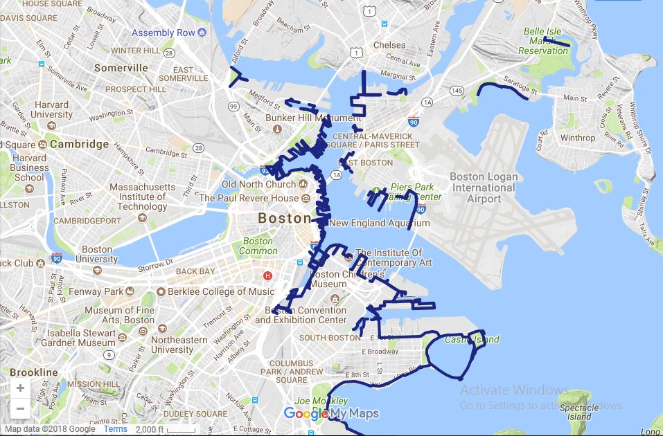
The Boston Harborwalk is a public walkway that extends along the shoreline around Boston Harbor. Along the way, you’ll find local restaurants, museums, shopping, or opportunities to just relax at a park or on a bench by the harbor. The section of Harborwalk located at the Seaport District is a particularly beautiful spot to explore, especially on a summer night, when you can admire sailboats in the distance and all of the boats and yachts coming in and out of the harbor. Part of the benefit of the Harborwalk is the outstanding variety of views and experiences you’ll take in while meandering through the different waterfront neighborhoods. Click here to view a walkable map of the Boston Harborwalk.
If you are thinking about buying a new home in the city, take some time to walk around and experience the unique character of the neighborhood. Oftentimes, you can get a better idea of the lifestyle that comes with it. Questions about new development residences in downtown Boston? You can reach me at 617.500.8068 or ggustafson@landvest.com.
Happy exploring!
Resources:
http://www.bostonharbornow.org/what-we-do/explore/harborwalk/
https://en.wikipedia.org/wiki/Boston_Harborwalk
http://www.bostonplans.org/planning/planning-initiatives/harborwalk
http://www.bldup.com/posts/municipal-harbor-plan-approval-enables-two-landmark-waterfront-developments

